
Planning is key in the management of water resources by the administrations and in the achievement of the right to water by the communities, where participatory planning is the fundamental pillar.
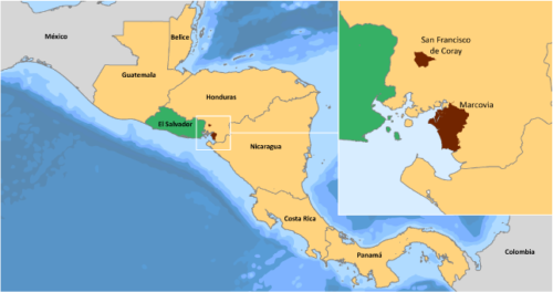
iCarto contributes in this technical assistance the knowledge and experience in the water planning methodology that Ingeniería sin Fronteras has implemented in El Salvador and Honduras since 2002 and 2009 respectively; as well as the development of innovative technological solutions that facilitate the process, such as the gvSIG Fonsagua application.

Problems posed by the project
Water is a fundamental element for the socio-economic development of the territories. And therefore, it is essential to ensure an equitable distribution and availability in quantity and quality.
The construction of water systems without prior planning exacerbates this problem, especially in rural areas. Furthermore, if it is not carried out in a participatory manner, it contributes to these systems being unsustainable.
Participatory water planning is a tool that offers a preliminary diagnosis of the situation with respect to water and sanitation, alternatives for possible water systems and their prioritization. It is important to have an appropriate methodology, and tools that support it. Sometimes the tools used are very varied, and include data collection in the field using files, cadastre or GPS; the introduction of information through databases and spreadsheets; analysis and calculations using geographic information systems, spreadsheets and specific software such as epanet; and reporting using a word processor.
With so many tools and steps, the process is ineffective and prone to introducing errors.
In the Central American context, these problems are aggravated for different reasons: existence of small communities that increase the different individual or joint solutions, not having inventoried the sources of water in the territory, and therefore, the availability of water, or having to design different typologies of systems. On the other hand, municipal technical staff do not have sufficient capacities or tools for adequate decision-making or financial resources for high-cost solutions.

And how we solved them
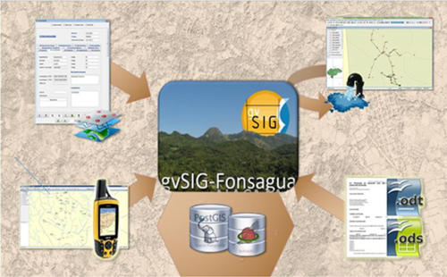
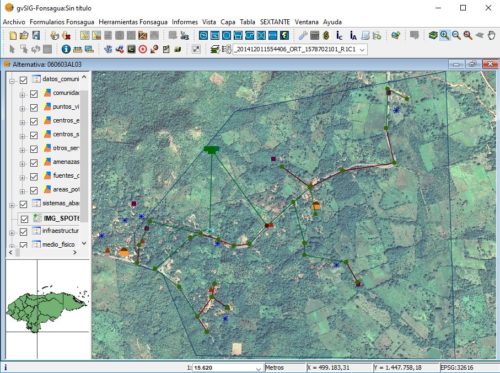
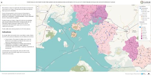
With the support of different funders and institutions, the gvSIG Fonsagua application is being developed as an integral tool to apply water planning in rural areas that can be used by different governmental and municipal entities. It has the following functionalities:
- Data dump, allowing easy import of data taken in the field with custom forms.
- Design of supply networks integrating the EPANET hydraulic model in gvSIG, which allows the design and analysis of any type of system.
- Generation of diagnostic reports and alternatives of the water system that allows the prioritization of the solution and decision making.
gvSIG Fonsagua has been applied in El Salvador and Honduras, but it is applicable to the Central American context using any water planning methodology.
iCarto has helped to systematize planning methodologies and provided recommendations to adapt tools and methodologies to government lines such as Municipal Development Plans in Honduras.
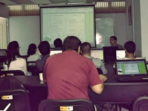
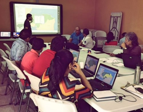
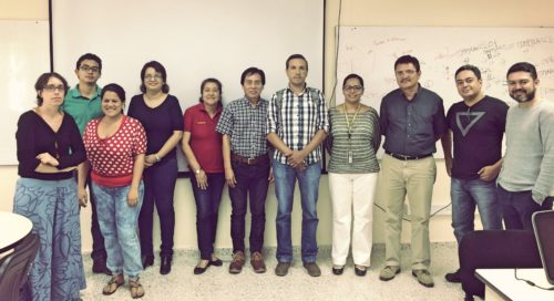
Technical solutions are accompanied by strengthening in the use of planning tools and methodology. This component is the most important, so in addition to specific training, it is accompanied by periodic training and technical monitoring for the development of management plans.