iCarto is a technology firm focused on developing and integrating technology which we then apply to improve our clients’ processes. We feel totally comfortable with handling and processing data, particularly geographical data. Our solutions usually include maps, because everything happens somewhere. Our projects are mostly related to civil engineering and development cooperation, but we’re ready and able to take on any challenge – in fact, we thrive on them!
We cover all the aspects of your project
Our services
 Technological Consulting
We are your technology partner. We specialise in small and medium-sized entities with limited resources and severe technological constraints. We regularly work with NGOs, SMEs and small public administrations.
We listen to your problems, we understand them, we make them ours, and we help you choose and implement the methods and technology you need to solve them.
 Software Development
We develop customised software, either starting from scratch or adapting existing solutions. We can implement everything from a web-based GeoViewer or a desktop app, to a complex app that integrates web, mobile and desktop components in a single system.
Our pillar is open-source software that allows us to offer you open, adapted solutions that will grow with your needs, and we only charge you for our work.
 Spatial Analysis and Cartography
Any kind of information can be represented on a map, which opens up a whole world of possibilities. We analyse the information available to you and complement it with other data sources.
We are experts at processing, combining and adapting information (geographical) to make it more manageable for your projects or processes. And our maps are both useful and beautiful!
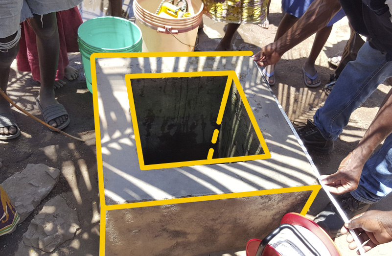
 Inventory of Geographic Information
We create a data model to suit your needs. We design the most appropriate methodology to obtain and update this data.
We gather all kinds of information, on the ground or from different digital sources. We put it on a map and then deliver it to you along with a set of tools that allow you to view, check, edit and work with the information.