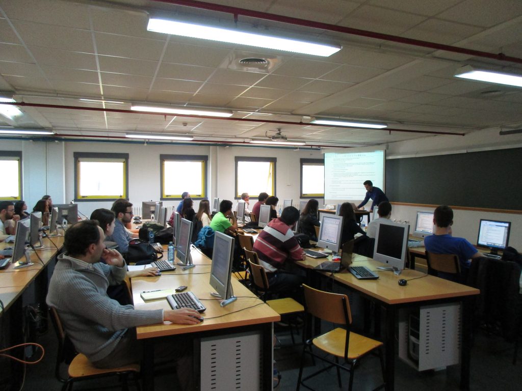
On Friday April 8th, iCarto and CartoLab, the laboratory of Cartography from the University of A Coruña, have run an introductory workshop to OpenStreetMap (OSM) and a mapathon to digitalize housing facilities and roads in the northen area of Mozambique.
The event is part of the third phase of the project SIXHIARA, funded by Cooperación Galega, a regional agency responsible for cooperation for development policies. The SIXHIARA project aims for institutional strengthening in the field of Geographic Information Systems and hydrology to ARA-Norte technical staff, as the responsible institution for water resources in the northern Mozambique basins.
During the mapathon, coordinated through the HOT Tasking Manager, 30 people contributed to create the necessary cartography to identify and asses risks under flood hazards in the basins of Megaruma and Messalo.
The study will lay the foundation to improve planning and mitigate the damage caused by flooding.
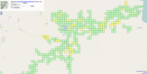
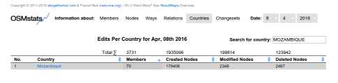
The attendees constitute almost half of the people who made changes in the area of Mozambique during that day.
To thank the participants and to show the impact of their contributions, we have put together a visualization that highlights some of the changes made during the event.
